Let’s say there’s a home on a one-acre hill in a heavily wooded cul-de-sac. At first glance, the property’s terrain, limited road access, and abundance of trees make it precariously exposed to wildfires. But, is there additional wildfire risk information that insurers may want to consider?
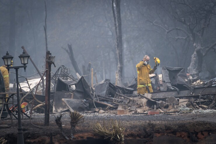
This question about wildfire risk is critical. Recent wildfire seasons have broken records and put fire danger risk on a long-term trajectory toward the center of the industry’s attention. In 2020, more than 58,000 wildfires burned nearly 10.3 million acres in the United States alone, according to the National Oceanic and Atmospheric Administration (NOAA). That’s about 3.5 million more acres burned than the average of the previous 10 years. Currently, there are about
From prolonged drought to rising temperatures, early snowmelt, and buffeting winds, climate change continues to play a major role in wildfire frequency and severity. So, too, has development encroaching on wildlands. Vegetation, terrain that can accelerate the spread of a fire, impeded access, and, of course, human causes, such as unattended campfires , also play key roles.
The industry needs high-quality data sources that can scientifically measure the threat and complement existing data elements, such as building codes and probabilistic modeling. Fortunately, three such data sources have emerged in recent years—each able to arm insurers with mitigation strategies their policyholders can put into practice. They are also likely to have a long-lasting effect on the property/casualty industry’s efforts to underwrite wildfire risk.
More than just lines on a map
One of the three emerging data sources is highly granular and precise geocoding, the process of using an algorithm to turn a description of a location, such as a physical address, into precise coordinates on a map. This process helps pinpoint a structure’s exact location on a parcel of land, which is especially helpful with properties of considerable size and/or with multiple structures (e.g. farms, vineyards). Say you’re using geocoding to plot the address of a cabin on a large piece of land in the mountains with a private road entering the property. The coordinates for latitude and longitude for the cabin and the road entrance could be slightly different.
Thus, accurate geocoding when combined with characteristics around a property—such as the presence of combustible materials or thick vegetation nearby—can affect wildfire risk assessment.
Bird’s-eye views and defensible space
With high-resolution aerial and satellite imagery, the view from above can identify or confirm property features and conditions that contribute to wildfire risk and help bring data to life. And the imagery can do it from two different angles—orthogonal, or top-down, and oblique, from a 45-degree angle.
Trees overhanging a home, for example, can raise the potential for damage. Failure to keep vegetation and other combustible fuels clear of nearby structures—a strategy known as creating “defensible space”—may increase wildfire risk
Two common benchmarks for defensible space are clearances of 30 feet and 100 feet around structures. But establishing such space can be challenging, and it may depend on the location of structures on a lot or a neighboring property owner being equally proactive.
All those can be seen and evaluated by an eye in the sky and provide valuable information for insurers seeking to understand a property’s wildfire risk.
Real-life data from Los Angeles County, a higher-risk region, tells us that in recent fire events, houses with more defensible space tended to fare better than those without. Again, we know this because of aerial imagery, which raises the standard for accurate, cost-efficient property data.
Inspector gadgets
Property inspections are still a vital way to mitigate the risk of damage from wildfires. Historically, in-person inspections have been the norm, identifying factors such as close-by vegetation or combustible materials leaning against a home.
Fortunately, as an alternative, insurers now have access to technology that enables streamlined “virtual interactions”—including renewal inspections—with homeowners. This technology can help improve operational efficiencies, reduce the cost and time associated with traditional inspections, and still identify or confirm issues related to wildfire risk.
Through this technology, policyholders can share and upload photos, videos, and other inspection-related materials via mobile apps and communicate in real-time with insurance underwriters and adjusters. Insurers can also identify areas in need of an in-person inspection.
About that house on the hill
These additional data sources can complement address-level information on wildfire risk that evaluates well-established risk factors (such as wildland vegetation, terrain, road access to properties, and Santa Ana-type wind patterns). The data can also provide additional clarity to existing community-level mitigation information and historical wildfire activity.
Going back to that home on the one-acre hill: More granular and precise geocoding of the property could reveal the structure may be in a less-risky segment of the parcel. In addition, aerial imagery may reveal that the homeowner has kept 30 feet of defensible space between her house and the nearest foliage. And virtual inspection data could confirm she has taken other steps, as well. Those include installing mesh screens over her vents and under decks to prevent embers from entering, and keeping her patios, decks, and gutters clear of leaves and other flammable materials.
The data sources and accompanying technology features are designed to help insurers make smart decisions when insuring properties in areas subject to wildfires. When combined with information on a community’s level of fire protection, building code effectiveness, and terrain, they can help give the full picture of a property and its exposure to wildfire. The clearer the picture, the more quickly and thoroughly insurers can evaluate and appropriately underwrite properties for wildfire risk.


