On-Demand Web Seminar

Empowering confident policy decisions with geospatial intelligence

Past event date: November 2, 2022 Available on-demand 60 Minutes
Sponsor Content from
Thank you. You're registered.

An email with the link to the recording has also been sent to {email}.
Welcome back.
You have registered as {email}. .

WATCH NOW

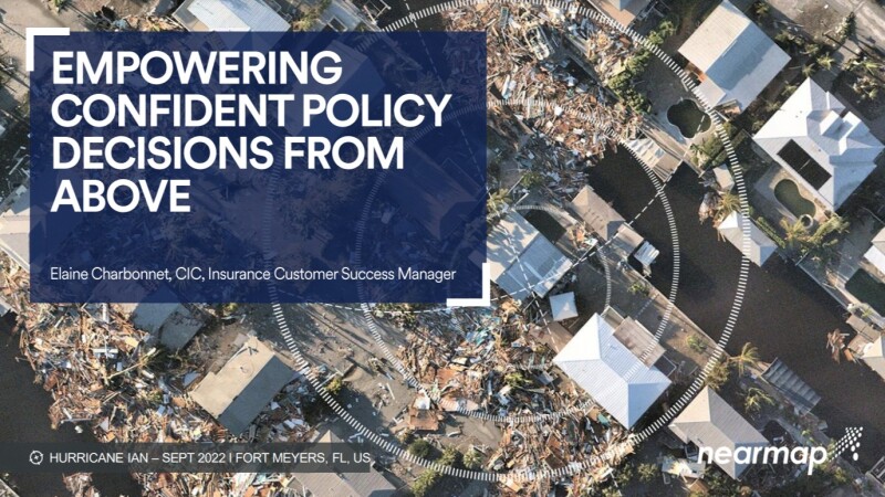
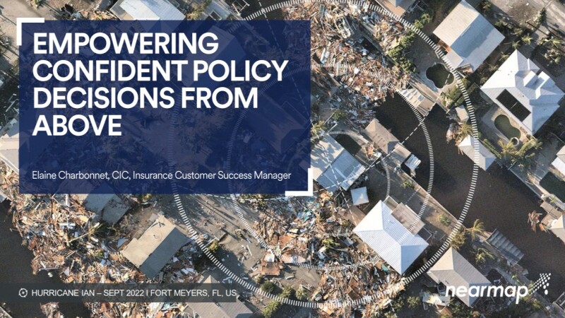
With severe weather events on the rise, insurers are turning to new digital technologies, including AI, aerial imagery and geospatial data, to gain vital information on their property portfolios that can help deliver faster, better execution of the policy lifecycle.

In this webinar, find out from geospatial intelligence experts:

  • How geospatial tech can simplify policy management and claims processing
  • Why using location intelligence for property risk evaluations makes sense 
  • Which tech to use to improve pricing, quoting and underwriting decisions
Speakers
  • Elaine Charbonnet
    Customer Success Manager
    Nearmap
    (Speaker)
  • Jim Ericson
    Market Research Analyst, Former Editorial Director, SourceMedia, Founder, Information Management Magazine
    (Moderator)