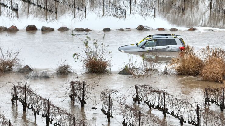
(Bloomberg) -- Flooding is the most common weather hazard globally and
The company, which was founded in 2016 and operated under the name Cloud to Street until rebranding on Thursday, combines satellite imagery, water gauge data, machine learning and other sources in a tool that tracks water levels before, during and after floods. The data provide an empirical foundation for insurance policies that automatically pay out when policyholders experience flooding beyond a defined level.
Along with the product launch and name change, Floodbase announced a $12 million Series A fundraise led by Lowercarbon Capital. The venture-capital infusion will help the startup further develop the technology that facilitates underwriting.
Insurers in recent years have begun selling policies that pay claims automatically when, for example, wind speeds from a hurricane reach destructive levels or
The approach is different from, and may complement, traditional flood insurance that homeowners purchase for their own properties. Parametric flood insurance may be targeted to larger areas, organizations or groups.
Floodbase has already enabled some financial institutions to underwrite parametric flood insurance. In Colombia, an international bank and a local lender teamed up to provide a policy to the nation's farmers that identifies, with Floodbase data, three water levels (25-year, 50-year and 100-year flood levels) that will trigger insurance payments, according to Bessie Schwarz, co-founder and chief executive officer of Floodbase. Two of its partners in the project were Munich Re Group and parametric insurance company Raincoat, according to a June 2022 press release.
Using the new data, insurers might choose to offer additional flood coverage to existing parametric policies covering hurricane and wind damage.
The technology may potentially be of use beyond insurance markets, too. Knowing where and how much flooding has occurred could provide a way for developed countries to help poor nations recover from climate-related losses and damages, such as last year's
Recent years have brought progress in the scientific understanding of hurricanes. Hotter water temperatures are providing cyclones with extra fuel and causing them to stick around longer. In the 1960s, hurricanes lost about 75% of their intensity within a day of striking land. Now that figure is
"One of the best things we can do to adapt to increasing floods in the future is to at least make sure we're adapted to floods today," said Beth Tellman, a Floodbase co-founder and an assistant professor in the University of Arizona's school of geography.
The company began as a science-driven project after Tellman and Schwarz met in a Yale School of the Environment master's program in 2012. Even before they incorporated as Cloud to Street, the founders worked together under grants from Google and a contract with the World Bank. Subsequent partners included UN agencies and several national disaster recovery programs.
"I had been starting to see climate not as a political problem, not as a scientific problem, not as — I don't know — a technical problem, but as a financial problem with financial solutions," Schwarz said.
Floodbase's data is the result of training machine-learning tools to recognize water in satellite imagery. To do this, the team used image-editing software to identify pixels in an image that represent water. The variety of water bodies on Earth, from temporarily overflowing rivers to lakes and ocean shores, required lots of image training. Current satellite images come from public providers and sometimes commercial vendors, such as Capella Space, Umbra Lab and Planet Labs, Schwarz said.
The team's confidence in the product comes in part from back-testing their risk analysis on years of records from public US and European satellites to see if their approach would have caught past floods. Their pitch also stands on transparency about Floodbase's methods. Tellman was the
Publishing their science in peer-reviewed journals "has turned into a huge advantage for us with insurers," Schwarz said. "They need to know what's going on if they're going to write policies under it … We see this as a pretty big strength, but it is uncommon, I would say, in the tech world."


