Geographic information systems may conjure up images among insurers of an old technology that tends to be used by a few passionate specialists at their company. It is true that the technologies for mapping and visualization have been around for decades. (I first saw a demo of GIS for insurance in 1989, and the potential blew me away). It is also true that usage in insurance is often limited to a few high-value areas of the business. Although GIS can hardly be called an emerging technology – much like AI which has also been around for many years – it could be considered a resurging technology.

This is a new era for GIS. The core GIS technology platforms have been extended to enable solutions for what many now call Location Intelligence. There are some good reasons why insurers should be considering an enterprise location strategy as an important element of their overall business strategy.
- Ease of Use: This might seem counter-intuitive since the use of GIS systems traditionally required individuals with deep skills in data, geography, demography, and other sciences. But today, the user interfaces have been modernized, templates and apps abound, and business users are able to leverage the technology without difficulty.
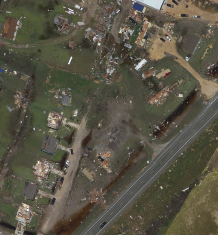
- Open Platforms: The sharing of maps, apps, and data related to GIS solutions is extensive. Collaboration among government agencies, businesses, and individuals is in high gear, especially since location intelligence-based solutions are often leveraged to address important societal issues. A prime example of this is the collaboration that occurs during natural disasters.
- New Data and Maps: The spread of connected sensors and devices across the planet has produced many new data sources, enabled the creation of new mapping layers, and dramatically increased precision. A connected device might be indoors or outdoors, stationary or moving, urban or rural, and able to collect highly accurate data about objects and what is happening to and around them.
- New Spatial Technologies: The technologies for indoor mapping, 3D, temporal analysis, and many other aspects of spatial technology continue to advance rapidly. In addition, the scale and speed of real-time processing open up new opportunities to capitalize on the technologies.
From an insurance standpoint, this creates new possibilities for gaining insights about managing risks, understanding customer needs and behaviors, and improving operations. More precision is possible in analyzing the exposures in a book of business, selecting and pricing risks, and handling claims (especially CAT claims). New risks and customer needs can be identified, leading to new products/coverages or more insight into geographic locations for agents. New services can be provided to policyholders, including real-time alerts and information to help them better manage their risks.
The potential business use cases and high business value warrant the attention of senior executives. Insurers should seek to create an enterprise location strategy, harness the new era of technology, and build on the expertise of existing GIS users in the organization, ultimately enabling a broader range of employees to solve problems in their respective domains.


