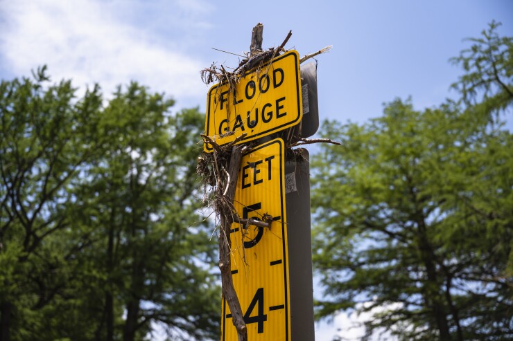
The heavy thunderstorms and subsequent floods that started on July 4, 2025 in Texas Hill Country devastated its communities,
Cotality shared
Financial loss estimates
According to Cotality estimates as of July 21, the disaster caused $1.1 billion in damage to residential buildings, though this will have a limited impact on primary insurers and reinsurers as the majority of the loss costs will fall on homeowners and business owners.
Properties and areas impacted
Estimates show that over 38,600 residential structures within the flood footprint of counties may have been affected by the floods and deemed eligible for FEMA assistance. This includes Tom Green, Travis, Kerr, Williamson and Burnet counties, which experienced the greatest number of residential properties affected by the floods. Cotality shares that not all properties within the flood footprint were damaged.
Cotality's initial analysis of the counties eligible for Federal Individual of Public Assistance, disaster relief provided by Federal Emergency Management Agency (FEMA) through NFIP policies shows that there are only 14,000 policies in force in areas most impacted.
Stream gauge data
Flash flooding is common in the Hill Country of Central Texas, Cotality explains, and historic record levels were measured at stream gauges across the region. Cotality traced the rainfall event that caused the destruction of the July 4 flash floods to a convective vortex that formed after topical storm Barry. This produced rainfall rates that reached 3 inches per hour and created an "explosive rise" in the Guadalupe River. The river rose more than 30 feet in 95 minutes, according to stream gauge data from Hunt, Texas, with one sensor failing after reaching a record high of 37 feet for that area.


